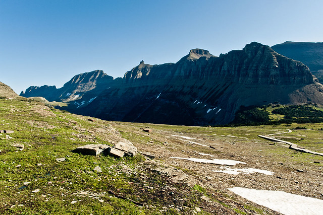
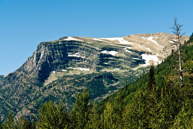
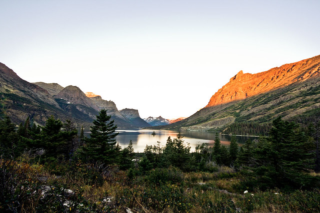
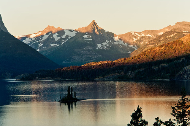
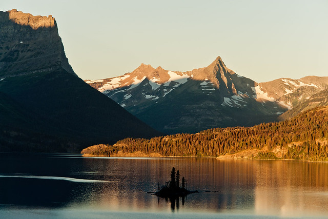
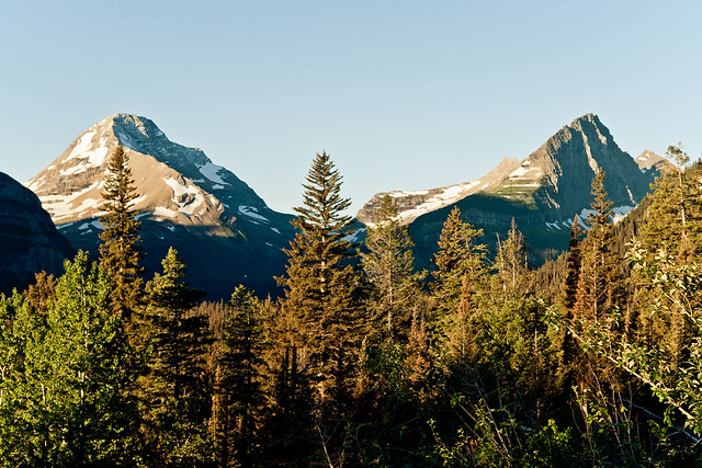
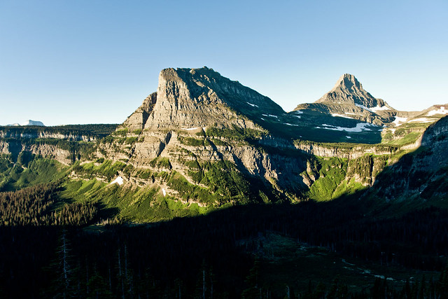
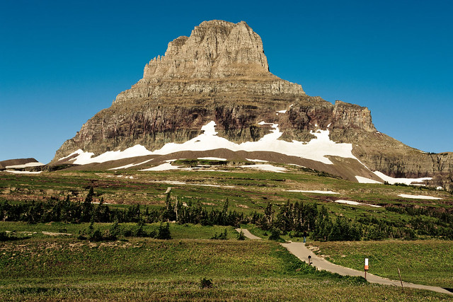
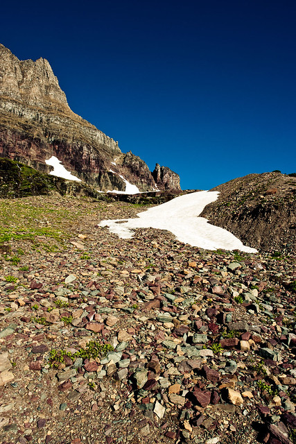
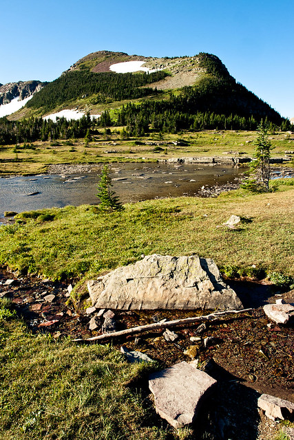
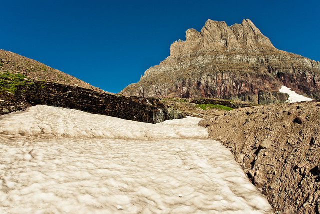
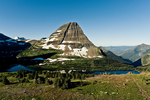
The walk back down to the Logan Pass Visitor Centre gave a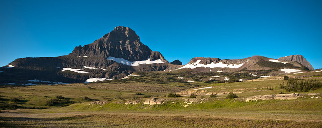 whole different perspective on the high Alpine Meadow area, as the sun had now risen high enough into the sky to let me capture some shots of the other mountains which surround this area of the park. First off lets look to the South.
 whole different perspective on the high Alpine Meadow area, as the sun had now risen high enough into the sky to let me capture some shots of the other mountains which surround this area of the park. First off lets look to the South.
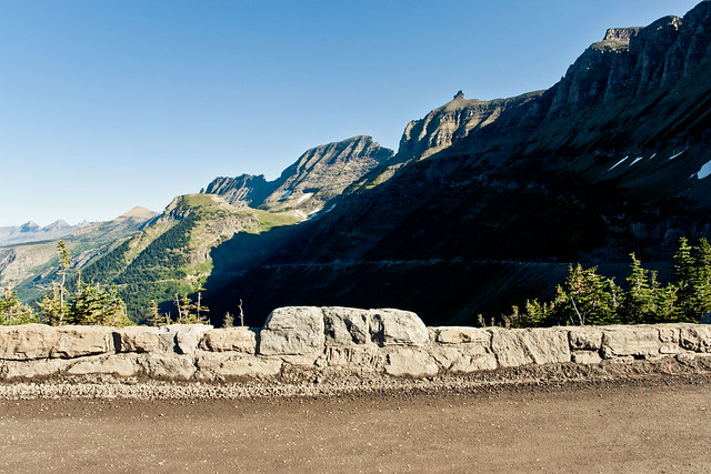
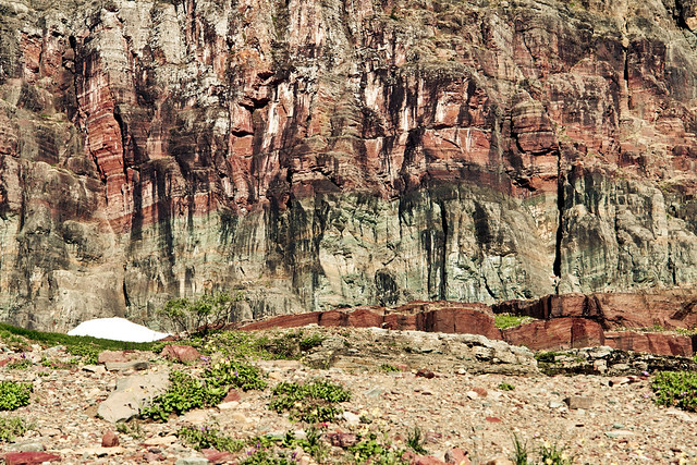
And then to the North there is the huge cliff face which has probably the most fitting name it could ever have - The Garden Wall, and what a garden it is too!
The Alpine Meadow was also home to a massive number of flowers, which must have a tough life trying to bloom in such an area of the world.
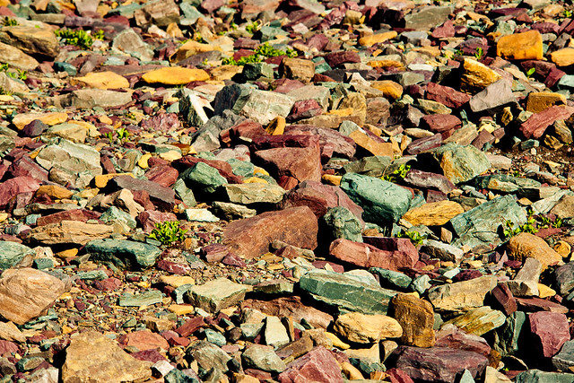
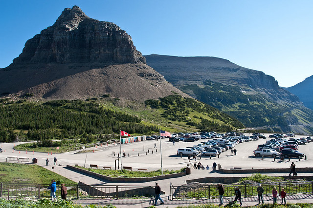 It's when you find yourself standing in the area of Logan Pass that you get a true sense of just how much of this landscape has been created by the movements of the tectonic plates far beneath your feet.
 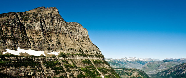 Glacier National Park is only a small section of the the massive range of mountains which run from the North of Canada all the way down through Mexico, where two continents come together, otherwise known as the Continental Divide.
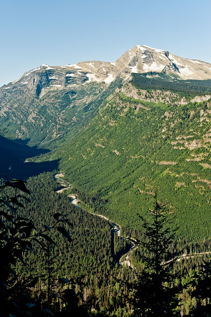
 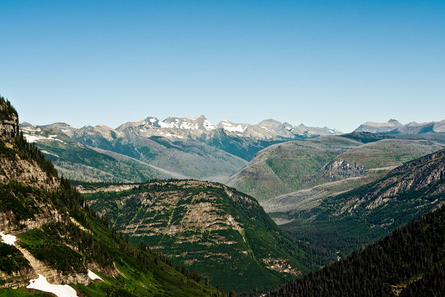 The drive back down the mountain pass road offers some amazing views of the valley which lies before it, as well as the likes of Mount Oberlin which has probably the best view in the park.
Once again, the drive in daylight gave more of an insight into the road I drove in complete darkness around 9 hours previously.
As well as the amazing views of the mountains of the park, McDonald Creek is also on show from Packers Roost as you begin your decent from Logan Pass towards Crystal Point.
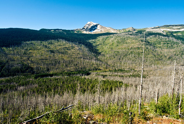
The sheer devastation that's caused by fires in the national parks is all too visible to see, some are caused by nature, i.e. lightning etc, but unfortunately there's still way too many fires started accidentally by people visiting the park...
Heaven's Peak stands proudly on the far side of the decimated valley before it.
As you continue winding your way back down towards the valley floor, the likes of Heaven's Peak, Stanton Mountain and Mount Vaught get close enough for you to make out all the lines and erosion which make up their faces and peaks.
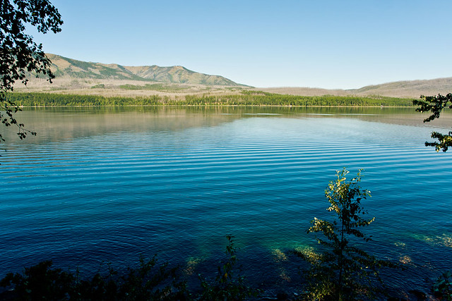
And my final shot from the West side of the park was to try and capture the glacier colours in the water of Lake McDonald, which I probably hit at the completely wrong time of day, as the colours which normally light up the lake were only on show in the shallow water near the lakes shore.
It was now time to leave Glacier National Park behind and begin the final stage of my journey, a 640 mile drive back through Montana, Idaho, Washington and Oregon.
Estimated mileage at this stage - 1060 miles
Estimated mileage at this stage - 1060 miles
Actual mileage at this stage - 1210 miles
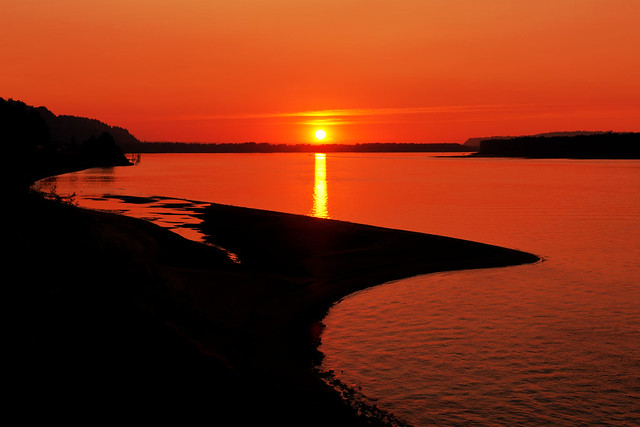
As I approached Portland along the banks of the Columbia River Gorge, the same area which had shown me colour in it's sunrise the morning before put on one hell of a sunset show.
This photo opportunity came as a bit of a surprise for me and about 100 or so other carloads of passengers who did their best to bring the slow lane of I-84 to a complete halt (thankfully there was enough space for me to squeeze into one of the last available spots at the viewpoint off of the main interstate).
The sunset looking West over the Columbia River was jaw-droppingly stunning, and even though cars were pulling to a halt all over the interstate to soak it in fully, I never heard a single horn get honked in frustration, one of those "special" moments...
Around 2 hours later I was back at my hotel, weary, tired and ready for bed after covering a grand total of 1850 miles in around 42 hours.
Estimated mileage at this stage - 1700 miles
Actual mileage at this stage - 1850 miles
One hell of a trip, and I think I'll stick to my single day, 600 mile stints for the coming weeks...
Actual mileage at this stage - 1850 miles
One hell of a trip, and I think I'll stick to my single day, 600 mile stints for the coming weeks...
