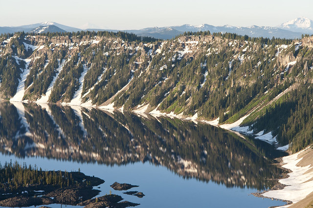
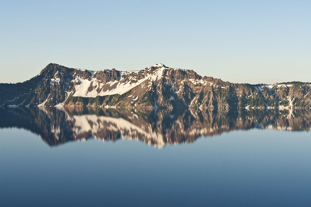
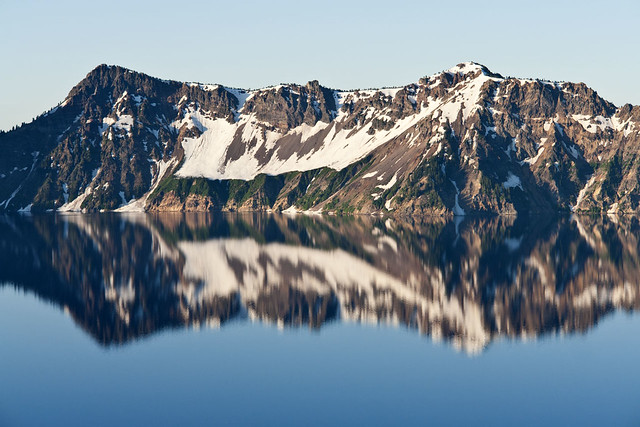
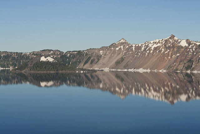
Showing posts with label lake. Show all posts

Monday, 3 October 2011

Hells Canyon & Glacier National Park Trip - Part 3 (Glacier National Park)

After sleeping (if you can call a game of doze off/wake up in 10min cycles) for around 2 hours it was time to get the car started and make my way through Glacier National Park from the West entrance, all the way through the "Road To The Sun Highway" to a few miles shy of the East entrance where I planned to capture the sunrise over Saint Mary Lake.


As the local time approached 4am, I was already sat in prime position alongside the lake which was so amazingly still compared to almost EVERY single image I had found on the internet prior to the trip.  It was still completely dark at this stage, and with sunrise due to arrive around 4.45am I thought about grabbing another quick 15min snooze when it suddenly dawned (no pun intended) on me that I was miles and miles from any civilisation and was thousands of feet up in the air.


Why didn't I look up before now, argh, sometimes I really, really, really could kick myself, HARD!


It wasn't until now that I realised what I had squandered in during the few hours of sleep I had in the car.


STARS!!!!


And lots of them, I was parked around 40 miles outside the West entrance to Glacier from around midnight to 3am, and the skies were clear all night.  I blame the heated seats in the hirecar for my lack of awesome star and milkyway pictures that COULD have been captured had I not fallen asleep so easily...
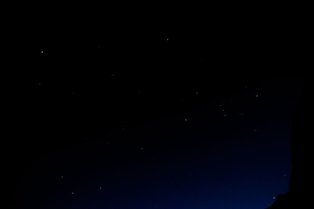


...so here is one of the small number of star shots I took while capturing the sunrise at Saint Mary Lake.


It was only now that I was beginning to wonder if I would have any others planning to enjoy the sunrise too, human perhaps, or even the large 4-legged variety, as lets face it - there's over 3000 bears in the park, a mixture of Black and Grizzly varieties, and I'm not a fan of fighting with either!


Just before 4.30am the sky was beginning to light up with colour as the sun put on it's daily show. 
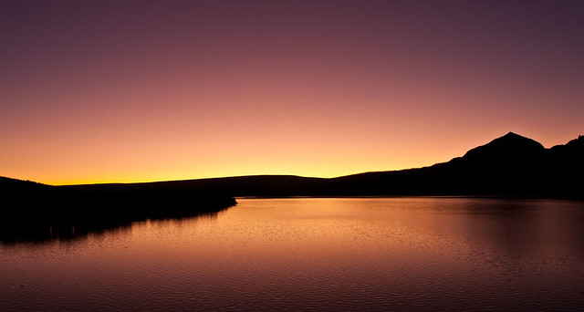
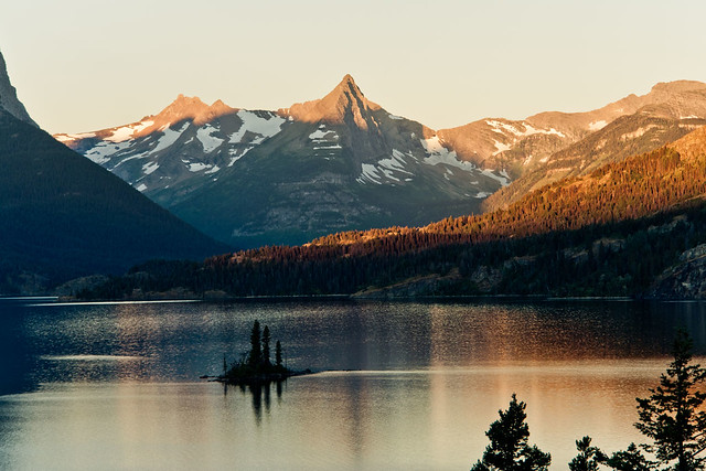
 I'll be honest, after shooting a sequence of images at this stage of the sunrise, the main event itself just seemed "flat" in comparison, so I packed up the kit and drove a few miles back West to where I could shoot back into the mountains of the park, with Saint Mary Lake still in the foreground, and using Wild Goose Island to break up the surface of the lake.  
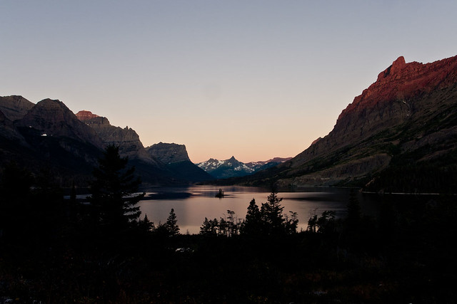
 

You can see the sunlight is just starting to spill onto the tops of the mountains which guard the waters of the lake below it, at this stage is was around 5.45am.
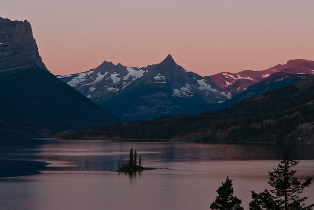

This location was probably the place that I was most jumpy, as I was the only person standing in this area, down in the woods, with nothing but trees, bushes, and lots of nice hiding places for those bears...This location was probably the place that I was most jumpy, as I was the only person standing in this area, down in the woods, with nothing but trees, bushes, and lots of nice hiding places for those bears...I reckon every time I hit the shutter button standing there I did a complete 360 degree scan of my surrounding area incase I needed to make an emergency sprint back up to the car, thankfully nothing appeared and I spent the next hour there capturing the changing light over the lake and mountains.
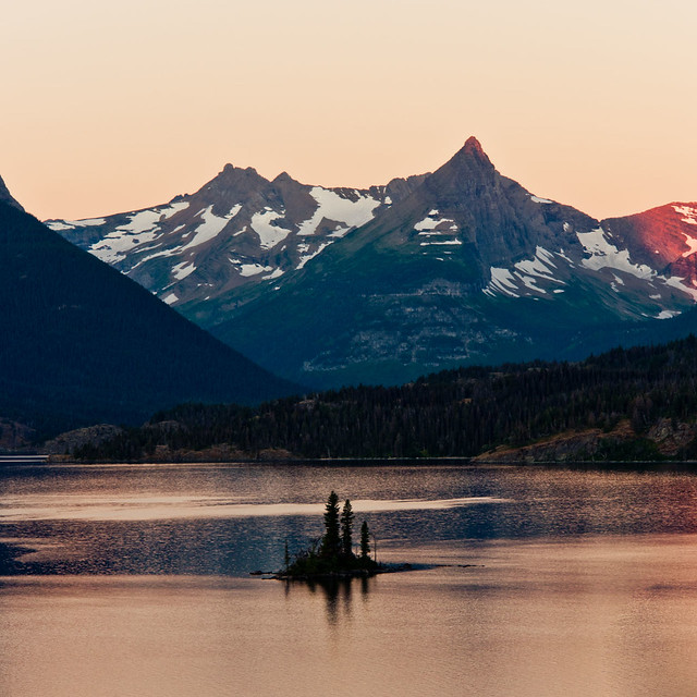

Almost as quickly as the colours over the lake became pinkish, they began to transition to a more reddiish-orange glow, as the sun began to spread it's light on the hills which surround the lake.


It's at this point in time where the light is changing pretty much second by second that it gets tougher and tougher to keep everything exposed just enough to prevent blowing out the highlights or the shadows looking like they are still in the dead of night.


I have seveal custom functions set up on my 60D, which this photo is shot on instead of my normal Sony R1 that takes care of the normal landscape shots.  Using the 60D also let me through the scene into wide angle mode as I had brought along my 10-20mm lens among others.
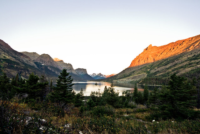

The light begins to spread onto the hillside, bringing colour to all that was shadow.


In this one you'll see that the water looks pretty plain now, with some reflection showing but quite bland.
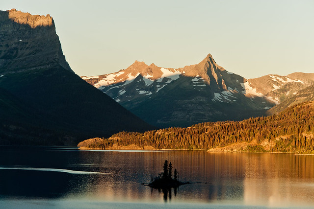

Now, only a matter of minutes later the light has filled the bank of the lake with colour, and the water which looked quite bland only a few minutes earlier now displays a colourful reflection of the bank.
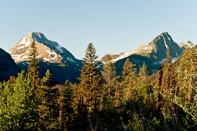
The next hour or so I slowly made my way from Rising Sun on the banks of Saint Mary Lake, West along the Road To The Sun Highway - this time in daylight, which allowed great views of some of the mountains which make up the National Park.

As I drew close to the Visitor Centre high up in the mountains at Logan Pass I could get an idea of what lay off to the sides of the road that I had driven along in the dark of night - huge drops off the side of the cliff!
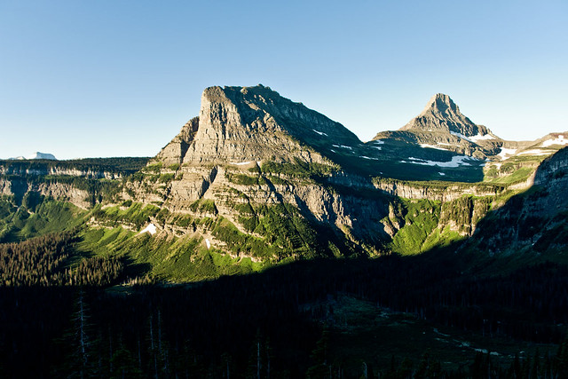

 
The carpark at Logan Pass normally begins filling up quickly from around 9am, which for most people is the timeframe that they intend to reach it - for me that "normal time of day" was still a good 90mins away when I parked up the car and after picking up the gear, made my way up past the Visitor Centre towards Clements Mountain.
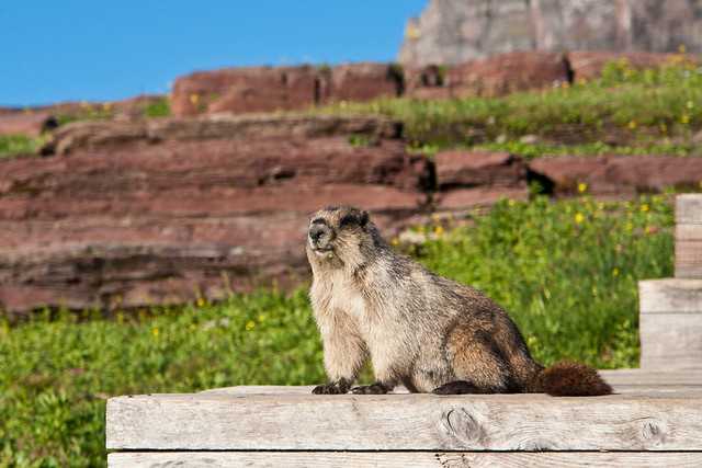
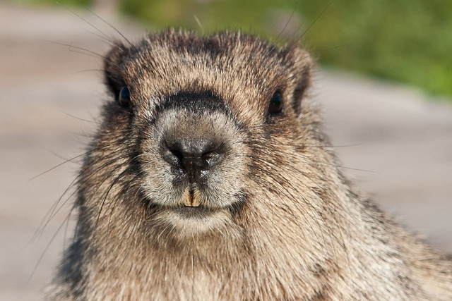
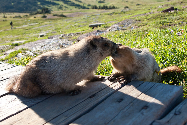
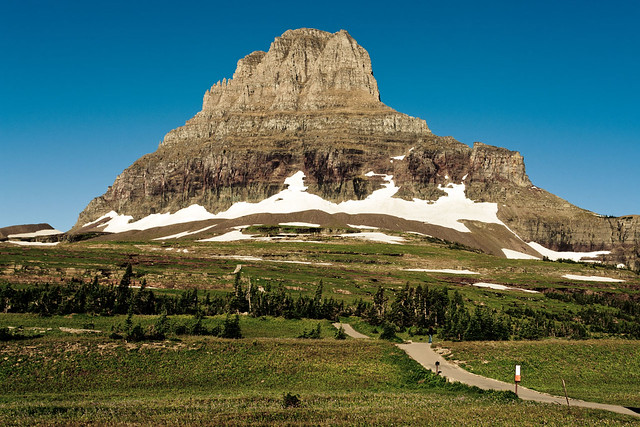
You can already see the start of the path which leads you up towards Clements Mountain, before swinging over it's left flank en route to Hidden Lake which lies a few miles away.  After around a few hundred feet the stone path turns into a raised wooden walkway which winds it's way over the Alpine meadow.  The Apline meadow is home to hundreds of Marmots, which is a cousin of the squirrel - but is MUCH larger than it...
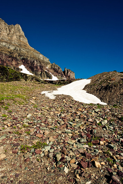


As you approach the base of Clements Mountain there are large areas littered with loose rocks that have broken away from it's parent mountain.


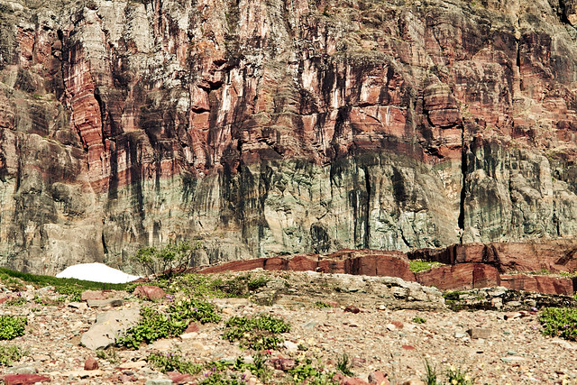
The colours which show up in the stone slurries are down to the large variety of minerals which are abundant in the mountains of Glacier National Park.
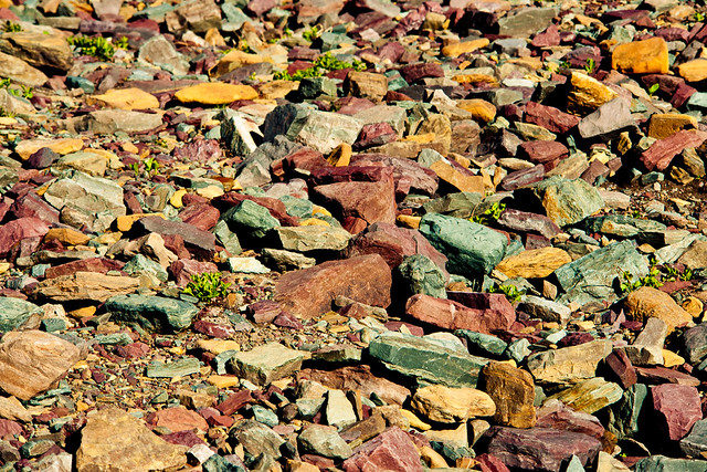
On the plateau which lies to the South of Clements Mountain the pathway winds itself through another section which has has a large rockfall and a small lake which has come into being due to all of the snow which has melted recently.
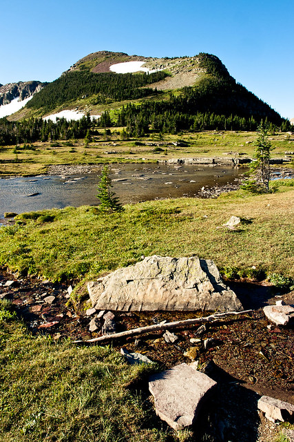


There's still plenty of snow around the park, albeit patchy now that it's September.  It won't be long until the snow begins to fall and makes this area impossible to reach easily for the best part of another year.
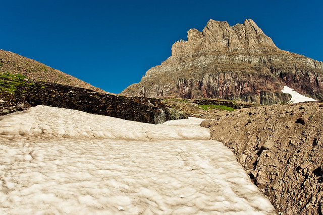
As you get closer to the cliff faces of Clements Mountain there's much better view of the changing colours which make up the mountain.
 
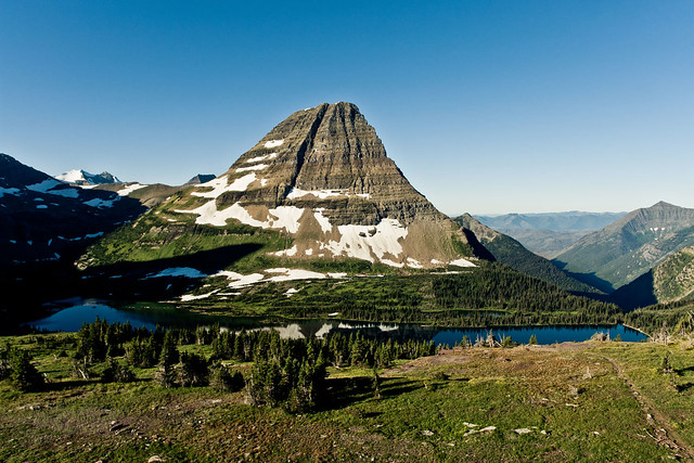
Another half mile or so hike finally brings the scenery which holds Hidden Lake in it's arms into view with Mount Brown towering behind it. 
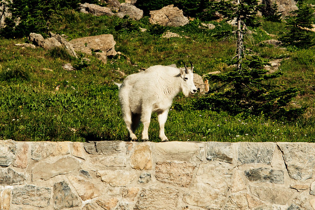

Again, hiking through areas of the vast winderness has you a little on edge as far as keeping your eyes peeled for the local wildlife, thankfully the only animals other than the Marmots that I came across were a few goats who only seemed a little miffed at me wandering across "their" turf!

Wednesday, 21 September 2011

A Day With Crater Lake - Part 5 (Sunset and Beyond)

And without further ado, here comes the final installment (with commentary of it all as it happened if you can be bothered reading)...

From around 5.30pm through until 8pm I pretty much rested and played a waiting game other than a few shots here and there.

Waiting for what I hear you ask, well firstly for 8.37pm which is when the sun was due to set.

If you think this is where the day got easier you'd be mistaken, as with the time it takes the sun to set being counted in a matter of minutes I knew that from the time the sun hit the edge of the crater from my vantage point just North of Skell Head that I would have only 10-15 minutes to make the ~8 mile drive back round the North of the crater rim to Hillman Peak where I could catch the sun dissapearing over the horizon with the rolling hills of the Cascades in the foreground.

Sunset shot 1 - Nailed, time to jump in the car and try to get to shot 2 in time...
p.s. around 10-15 of the 30 or so mosquito bites I picked up were all for this one, single shot...!!!

While trying to get myself back round to Hillman Peak to capture what was left of the sunset over the Cascades, the colour of the hills and surface of the water grabbed my attention as I neared Pumice Point, around half way between where I shot the previous image and where I originally planned to shoot from for my second sunset shot.

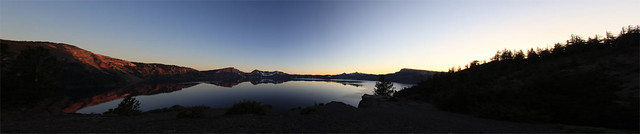
Gamble time, continue on and hope to catch the sunset at Hillman Peak, or stop, set up the gear quickly, capture a quick panorama from 3 images and potentially lose out on the remaining sunset...gamble, every single time...now would I make it to Hillman in time after shooting this trio of images...???


I can't begin to explain how much I was willing the sun to stay hanging in the sky for just a few minutes more, as the stop off beside Pumice Point had added a good 5 or so minutes to my original plan for capturing the sunset at this iconic location.

Thankfully as I reached North Junction the sun was still hovering slightly above the horizon, but with just under 2 miles still to drive I couldn't know if someone had broken down and blocked the road or some other random bout of misfortune to thwart my best laid plans...


As I pulled the car to a halt at Hillman Peak the sun was just starting to breach the horizon, so with no time for error the tripod and camera were set up and the shutter button got a well earned workout, with the Sigma 10-20mm once again producing that amazing star pattern at f22.


Sunset Shot 2 - In the bag...and time to breathe again...

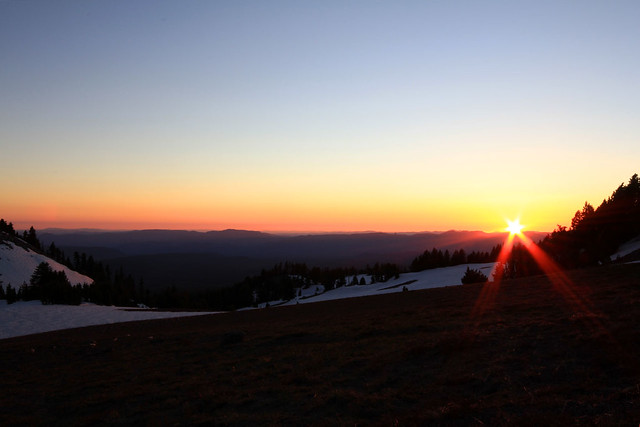
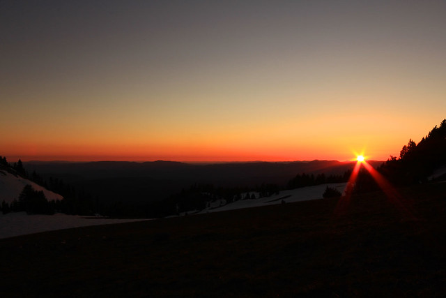
With the sun dipping over the horizon, and knowing that I had at least one shot in the bag from HIllman Peak (as well as having finally caught my breath again), it was time to get arty and shorten the exposure a little to get a much deeper glow as the sky started it's amazing transition from blue into reds, oranges and yellows.


With the somewhat frantic arrival at Hillman Peak I was completely oblivious to the other 10 or so cars which were parked up, everyone standing in silence either just watching the sunset unfold or capturing it just like me with their camera.  It wasn't until I had shot this frame that I heard another shutter going off!
With the sun now below the horizon it left behind it's amazing light show for everyone that had stayed behind to watch it.


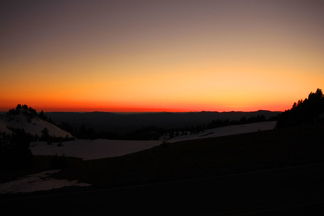
For the 15-20 minutes which followed the sky started to burn with radiant reds, oscillating oranges and yummy yellows (ok enough of the random wordplay), by this point I had the remote trigger hooked up and was able to stand and admire the show as well as every so often making a small adjustment to the shutter speed to capture the amazing show of colour and light...

With the sun having set and dusk well and truly on it's way out the side door too, I made one final drive South along West Rim Drive back to Discovery Point to see if there was any light left to capture above the crater.


Thankfully I was just in time to grab the sky as it transitioned from red to orange to yellow to purple to blue and find finally black as night rolled in and temperatures once again dropped to just a smidgen above freezing.


An almighty day out at Crater Lake, one that will not be easily forgotten so a big tjhanks to the Crater Lake gods for putting on such a stunning show for me to capture and share with everyone (and hello to the park ranger who stood beside me as I shot this final image - who thought I was completely nuts for having been at the park since 4.30am...!!!)


Until next time...


If you want to see this whole lot unfold in a slideshow, then here's the link to the Flickr Set slideshow of the day with all of the images in this thread featured:-


Barry.

Sunday, 18 September 2011

A Day With Crater Lake - Part 4 (Evening Approaches)

Here is the penultimate group of images, which were all shot on the trusty workhorse cam, my Sony DSC-R1 which I carried all day along with the Canon EOS-60D with Sigma 10-20mm attached...

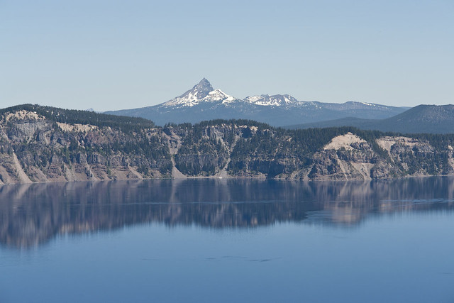
Garfield Peak gave a great, unobstructed view over the blue waters and crater wall to Mount Thielsen which towered above off in the distance.


As I already mentioned previously, the views from Garfield Peak are nothing short of spectacular, and narrowing it down to this handful or so of shots wasn't an easy task let me tell you.


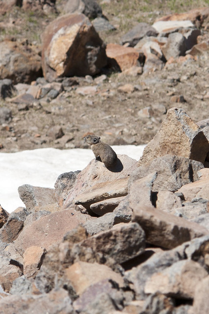
This little guy may have been small, but by hell he had one massive set of lungs on him - screaming his head off for what I can only assume was his mum or dad...no idea what he is, no doubt someone on here will be able to answer that question.

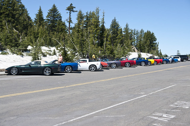
When I had descended the trail from Garfield Peak I happened upon this collection of Corvette's that had done a road trip together and stopped off at Crater Lake for the day.

Quite ironic considering the amount of time that I spent in the years gone by shooting cars, meets, shows and events for various European car mags...


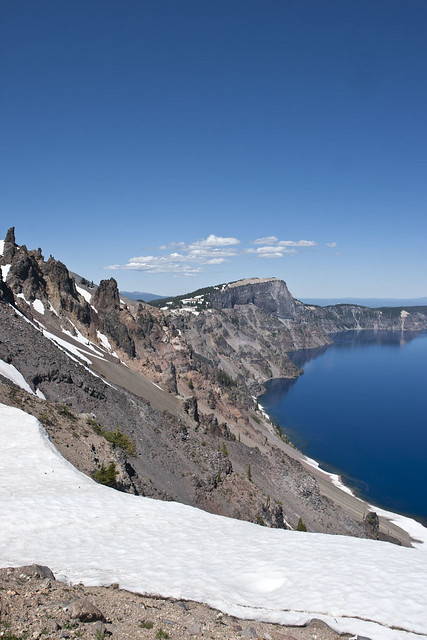
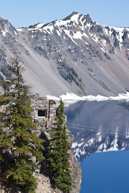
The dark structure you see sticking out of the face of the crater is known as the Devils Backbone.

It is is a vertical wall of dark andesite which lines the cliff face and measures around 1000 feet long and 50 feet wide near the top.

The rock has been left standing while all around it the surrounding material has been worn away through natural erosion.

Of all the dikes on the walls of Crater Lake, only one, the Devil's Backbone, reaches from the water's edge to the rim. The Devil's Backbone has thin glassy selvages enclosing a paler, holocrystalline, and somewhat vesicular core rich in cristobalite.


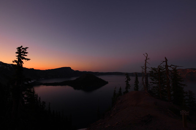
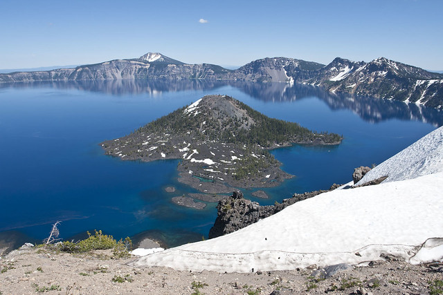
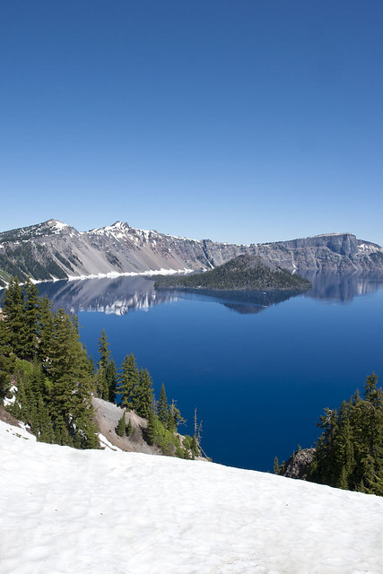
The final daytime shot from this upload is from the same spot that I stood at 4.35am the same morning for the pre-dawn shots, looking out head-on to Wizard Island.

The island always stands out thanks to all the different depths of water which surround it, which help to create a variety of colours against the electric blue the rest of the lake offers up.


Saturday, 17 September 2011

A Day With Crater Lake - Part 3 (Afternoon)

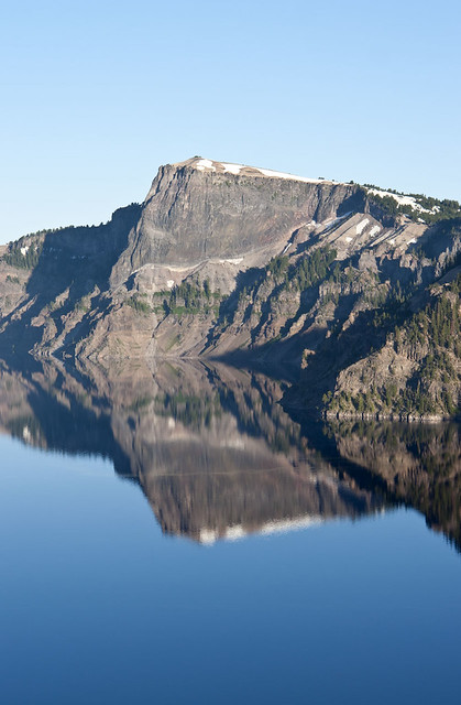
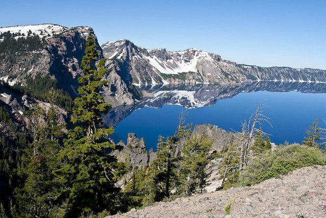
With little to no wind around until early afternoon, it gave the perfect opportunity to shoot some of the reflections of the crater walls in the surface of the lakes water.


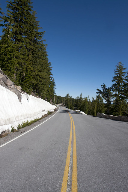
Until Friday a good chunk of the East rim road was still closed due to snow coverage, thankfully they finally opened it up on Friday as it makes getting from one place to another so much easier when you have two options to drive around the crater instead of just one.


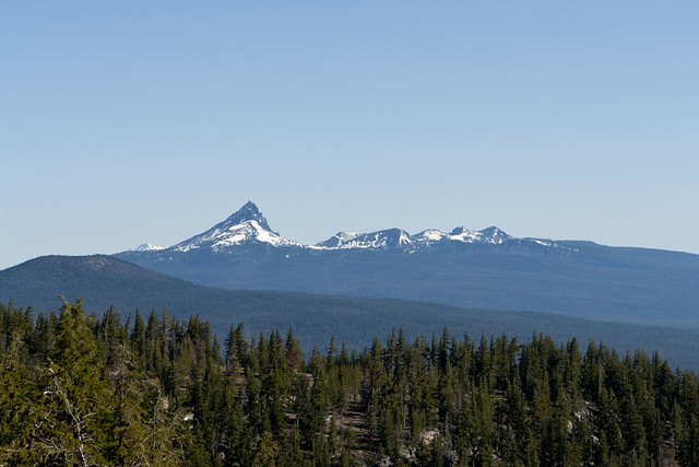
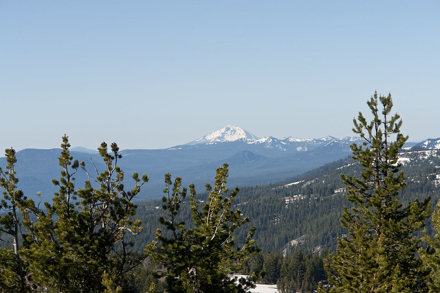
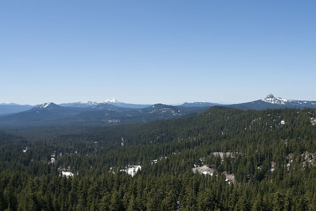
From several places on the North side of Crater Lake there are great views of some of the other mountains in the Cascade range.

Here we have Mount Thielsen.


Here we have Mount Bailey and Mount Thielsen from left to right.


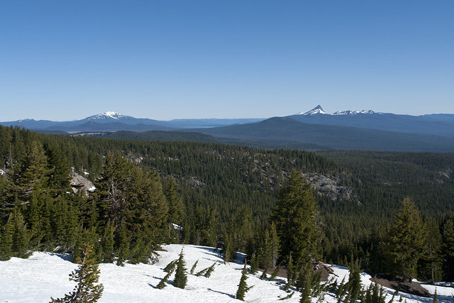
It's not only the North side of Crater Lake National Park that offers great views of some of the other mountains in the Cascade range.

Here we have Swan Lake Mountain which is located to the South East of Crater Lake.


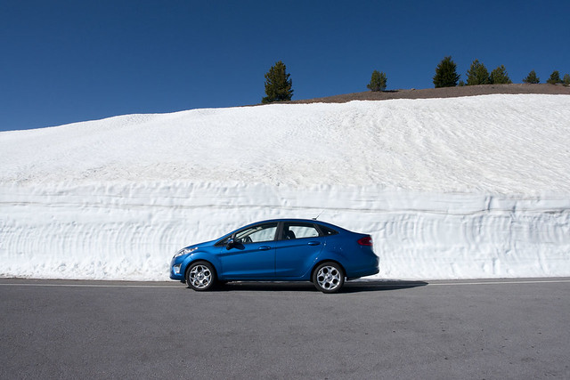
The only main road which is still closed inside the park is the one which delivers you to the top of Cloudcap Overlook, and even though the rest of the roads are clear, you can quickly see just how much snow covers the road up to Cloudcap at the moment.

Also, meet my trusty steed for this current trip, a Ford Fiesta - for our Euro viewers, yes it does have a boot/trunk too...I thought it was a Focus when I picked it up until I realised it was just a "little" bit smaller.


I don't think I could have picked a better day as far as the weather goes, not a cloud in the sky from start to finish and just nice toasty hot temperature without getting unconfortable.

The scenery around the lake is just stunning and it's easy to fire off hundreds of shots as you circle the lake itself, and honestly having been there later in the season last year I would advise going right now when there is still snow around, as it adds so much more to the end results.


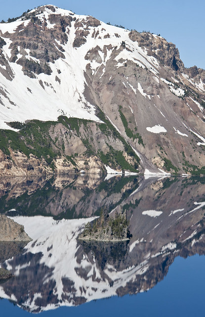
It may look like "just another" reflection shot, but look a little closer and you will see the Phantom Ship sitting bang in the middle of the reflection of the crater wall behind.


If like me you do homework on places to shoot from in advance of visiting, then you would probably be a little dissapointed if you got to the Phantom Ship overlook and only had a short range lens in tow.

As you can see there are a lot of trees at this overlook, so you really need to shoot the small island known as Phantom Ship from between any pair of trees to get a nice, clean shot.  For the previous shot I fired from between the left and 2nd from left trees.


From the main visitor centre known as Rim Village, there are some great places to view the lake, and most of it's smaller details, in this case Wizard Island.


Time for another reflection shot, this time of Wizard Island from the South West, shooting from a spot just a few hundred yards North of Rim Village.


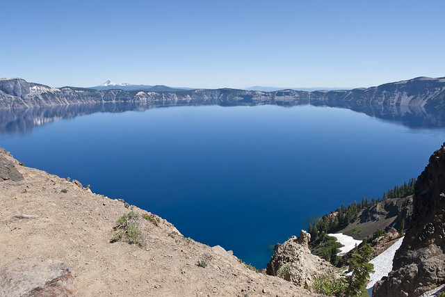
The main question that people ask after seeing photographs from Crater Lake is just what kind of filter or post processing has been done to make the water such a vivid blue colour.

The honest answer is none, that's what makes this place so special, not only are you standing on the rim of a huge volcano crater, but the lake that it holds inside is the most amazing colour of blue ever.

Hopefully the above shot will help show you it in more detail than the other pics...


While most of the main stopping spots around the lake have at least a bit of area cleared to make viewing and shooting the lake as simple as possible, in the most part the crater rim is lined with trees, so getting a completely unobstructed shot of the whole spectacle can be tricky for some.

Thankfully from the Rim Village you can take the short walk to the South where the Sinsott Memorial Overlook is located.  From the Overlook you have a clear, unobstructed view out over the lake.

Shot from a short distance into the Garfield Peak trail looking back North towards Rim Village.


There are tour boats which run frequently from the Cleetwood Trail area on the North West of the caldera, and if you look close enough you'll see two of them having just left Wizard Island.

One is heading back towards the dock at Cleetwood and the other is heading off in the direction of the Phantom Ship.


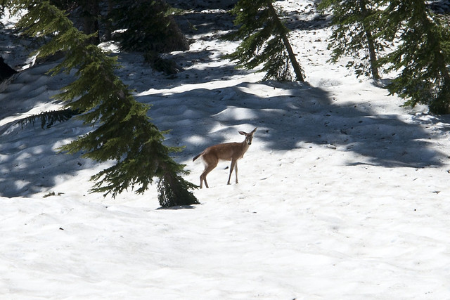
As I made my way through the snow covered fields towards where the Garfield Peak trail starts to rise in elevation I caught the sight of something moving out the corner of my eye.

The deer seemed to have done the exact same thing and I can only assume he/she stood there wondering why someone (me) was crazy enough to be ploughing through the snow covered field in only a pair of shorts and a t-shirt :D


Even thought at this stage I had only ascended around 200-300 of the 970 feet climb up to Garfield Peak, the view out over some of the other mountains in the Cascade Range just had to be soaked in and captured.

The main peaks are Mount Bailey (back left) and Mount Thielsen (right).


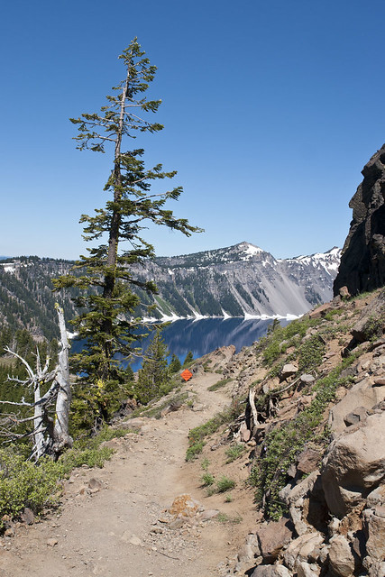
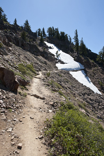
This is the uppper section of the Garfield Peak trail which you access from the South side of Rim Village.  It is described as difficult in most of the guides you will find, it's not as difficult as many other trails BUT it is unforgiving in it's continued angle of ascent.

The higher you get the narrower the path becomes and as you can see here the drop off to othe side is quite steep at certain points.

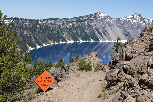
If you look to where the snow is there's a sign to warn of the dangers that lie in that huge pile of snow.

Lets just say that the word "avalanche" had been successfully expunged from my vocabulary before I tip-toe'd on past.


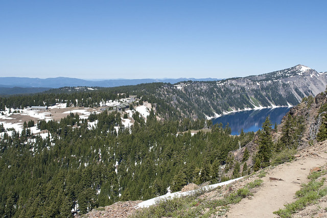
Just before reaching Garfield Peak, the elevation gave a great vantage point from which to shoot back towards Rim Village which sits to the South West of the crater.


There are still two more blog entries to come from my trip to Crater Lake, the 4th will be the remaining daytime shots and the 5th will be of the awesome sunset to round off one phenomenal daytrip...